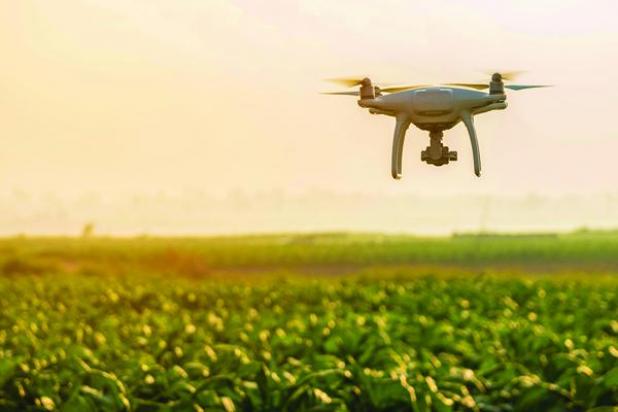
Could drones be the best way to collect field imagery in your operation?
Remote vs. proximal sensing: What’s your best option?
Collecting imagery of field conditions has been a popular concept with mixed results for at least 10 years. The use of satellites to collect the imagery is called remote sensing. The use of sensors closer to your field that are mounted on planes, helicopters or drones is called proximal sensing.
The selection of which sensor to use depends on how often, how detailed and which bands you are interested in collecting imagery.
Passive sensors collect imagery only from what is reflected from sunlight or energy released from the object being studied. Active sensors will add their own energy to an object being studied.
Taxpayer funded satellites
NASA provides free access to much of the data collected by the Landsat series of satellites.
Landsat 8 is currently the newest satellite in this series. It collects images over any given area on the surface of earth once every 16 days.
The data has limited geographic precision by providing reflectance data on pixels ranging from 15 to 100 meters depending on the band. The bands used to calculate normalized difference vegetation index are all provided on a 30-meter pixel.
The full article is available in our e-Edition. Click here to subscribe.