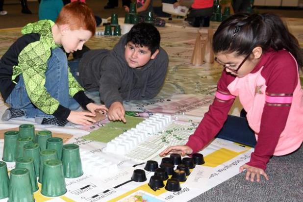
Third-graders Cozner Ring, Patrick Moreno and Rosalinda Turcios, pictured from left, design their own map and key using household materials like paper bags, Solo cups and ice cube trays. The activity was one of several related to the Giant Map of Colorado provided by the National Geographic Society to help build geography and map skills in a hands-on way. Johnson Publications
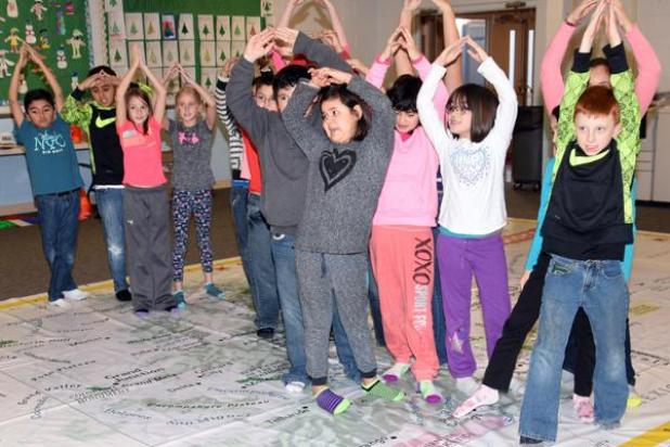
Third-graders line up on the Giant Traveling Map along the Continental Divide, forming mountains. Johnson Publications
Giant Map brings geography to life
Holyoke Elementary was the Giant Map of Colorado’s 77th stop on its 2016-2017 tour around the state Wednesday, Jan. 18, teaching students in grades 3-4 geography skills through games and activities. Students identified cities, used map grids and talked about roads, elevations and geographic features as they moved around the classroom-sized teaching tool.
“So many kids don’t have any sense of the state, of geography, of north and south — not anything!” said Dr. Rebecca Theobold, the coordinator and professor from University of Colorado-Colorado Springs guiding the activities.
The Giant Map of Colorado, an oversized 14-by-21-foot vinyl floor map, is designed to encourage geographic learning through physical movement and games, teaching place names, physical geography and cultural geography as well as map reading skills. Theobold said the new teaching resource, sponsored by the National Geographic Society and available through the Colorado Geographic Alliance, travels from school to school around the state.
Theobold makes a point to keep the map — which is the only one of its kind in the entire state — from getting stuck in the Front Range. She hopes that Boards of Cooperative Educational Services around the state will see the value in the physically interactive map and invest in more like it to have available as a resource.